Project SOS Canary Coast
The Canary Islands are probably the most unique area in Spain due to their great biodiversity, uniqueness and pronounced coastal character. With less than 7,450 km2 – barely 1.5% of the total area of Spain – the Canary Islands are the autonomous region with the second longest total coastline – more than 1,500 km – which corresponds to almost 20% of the Spanish coastline.
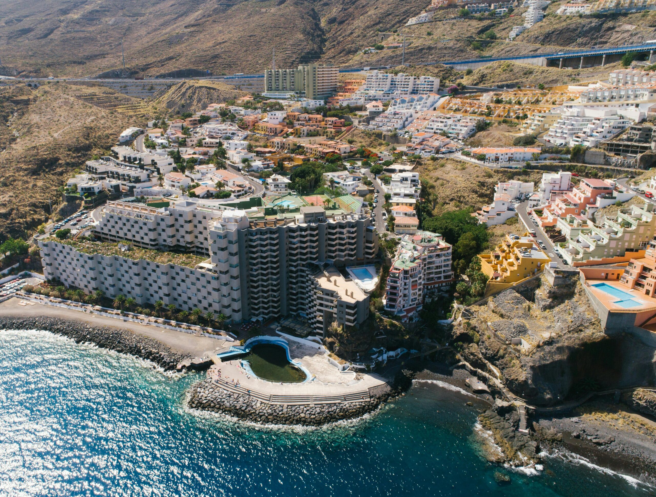
Intensive tourism development since the 1960s has led to a rapid and intense transformation of the landscape and a deterioration of biodiversity values, especially in the coastal areas that are most in demand and under pressure from the tourism-orientated construction industry.
According to the mapping of the Spanish Land Use Information System, in the Canary Islands more than 10% of the land within 5 kilometres of the coast is built on artificially, and within 500 metres this percentage rises to almost 18%. The Canary Islands coastline is much more fragile and valuable than the Spanish coastline as a whole, and its conservation and sustainable use is therefore urgently needed.
This study, developed by the Sustainability Observatory with the support of the Canarina Foundation, focuses on the coastal strip of the Canary Islands in order to assess the delicate balance between the state of conservation and the strong anthropogenic pressure to which it is exposed, and to compile and centralise all the information on the coasts of the Canary Islands in a single place, with the aim of providing decision-makers, public and private bodies and the public with all the relevant information on the sustainability of the archipelago’s coasts.